Why GeoPACHA-AI?
The scalar challenges in archaeology that motivate our expert-machine teaming approach.
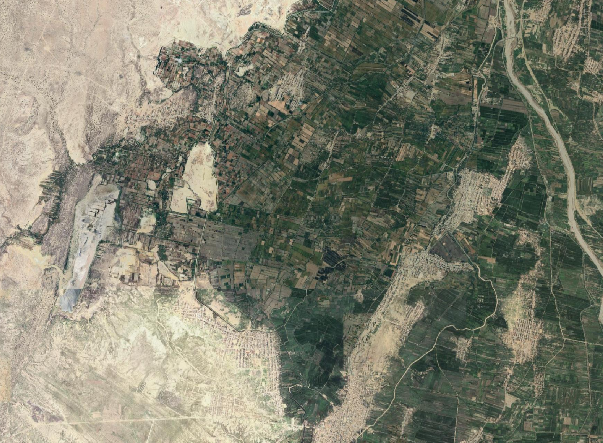
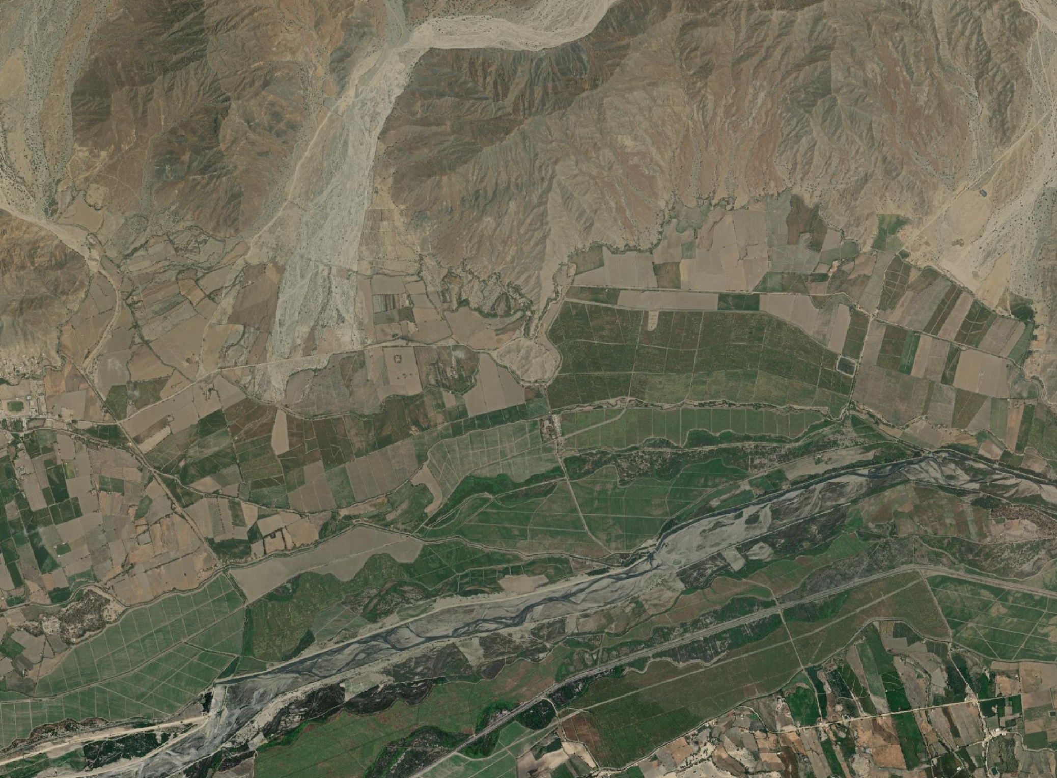
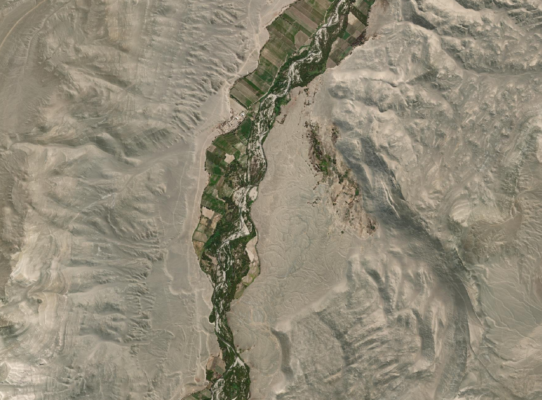
GeoPACHA-AI (Geospatial Platform for Andean Culture, History, and Archaeology) is an international collaborative project that develops and harnesses Vision Transformer-based AI models to conduct continental-scale archaeological imagery survey, spanning nearly the entirety of the Andes, from northern Ecuador through southern Chile. This area of about two million square kilometers encompasses the approximate historic footprint of Tawantinsuyu (the Inka Empire). The project aims to enable novel interregional perspectives on several dimensions of the Andean past, such as large-scale social networks, long-term processes of adaptation and resilience across diverse landscapes and climate regimes, and the dynamics and impacts of imperialism. Through systematic and contiguous registry of archaeological features at scale, GeoPACHA-AI will afford synoptic views of the Andean past that are complementary to the more granular renderings achieved through field-based methods.
The project team is led by Steven Wernke (Professor and Chair, Department of Anthropology, Vanderbilt University), Parker VanValkenburgh (Associate Professor, Department of Anthropology, Brown University), Yuankai Huo (Assistant Professor of Computer Science, Vanderbilt University), and James Zimmer-Dauphinee (Postdoctoral Fellow, Department of Anthropology, Vanderbilt University). The project has also benefitted from major contributions by Junlin Guo (PhD candidate, Computer Science, Vanderbilt University) and Siqi Lu (Graduate Student, Computer Science, College of William and Mary). The computationally-intensive foundation model training required for DeepAndesv2 is made possible through our collaboration with Xiao Wang (Research Scientist, Oak Ridge National Laboratory).
Learn more about our motivations, our approach, and our team.
The scalar challenges in archaeology that motivate our expert-machine teaming approach.
Our Vision Transformer models and deployment pipeline for continental-scale archaeological survey.
An international, interdisciplinary team of archaeologists and computer scientists working across the Andes.